
On September 24, 2025, forecasters in Miami cautioned residents that two tropical waves passing near the region could bring unsettled weather and increase the risk of showers and thunderstorms throughout the day. While the morning was expected to start relatively calm, meteorologists warned that the combination of tropical moisture and daytime heating would create unstable atmospheric conditions, setting the stage for stronger storms later in the afternoon and evening.
The tropical disturbances being monitored are part of an active Atlantic basin, a common feature of late September as the hurricane season nears its historical peak. One wave was moving through the northeastern Caribbean and projected to influence the Bahamas before gradually steering northward. The second system, which had been given the designation Invest 94L by the National Hurricane Center, was showing signs of gradual organization. Although neither system was forecast to pose an immediate threat of landfall in South Florida, both were expected to funnel additional moisture into the region, raising the chances of heavy rainfall and scattered thunderstorms.
Read Also: https://miamihighlight.com/miami-faces-historic-flooding-as-king-tides-and-tropical-storm-combine/
Forecasters explained that the atmosphere over South Florida was primed for convection, the process that fuels thunderstorm development. As daytime temperatures climb and sea breezes interact, the added tropical moisture provides the fuel necessary for deep and widespread storm activity. While morning conditions were forecast to be fairly mild with only spotty showers, meteorologists expected storms to become more frequent and intense later in the day. These storms could produce heavy downpours capable of causing temporary flooding in low-lying areas, as well as gusty winds and frequent lightning.
Rainfall totals were expected to vary across the region, with some areas seeing one to three inches of rain and localized pockets receiving even higher amounts where storms linger. Coastal and urban areas were identified as particularly vulnerable to water accumulation, as heavy bursts of rain could overwhelm drainage systems. The risk of flooding was not expected to be widespread, but forecasters urged caution for drivers who may encounter water on roadways during the evening commute.
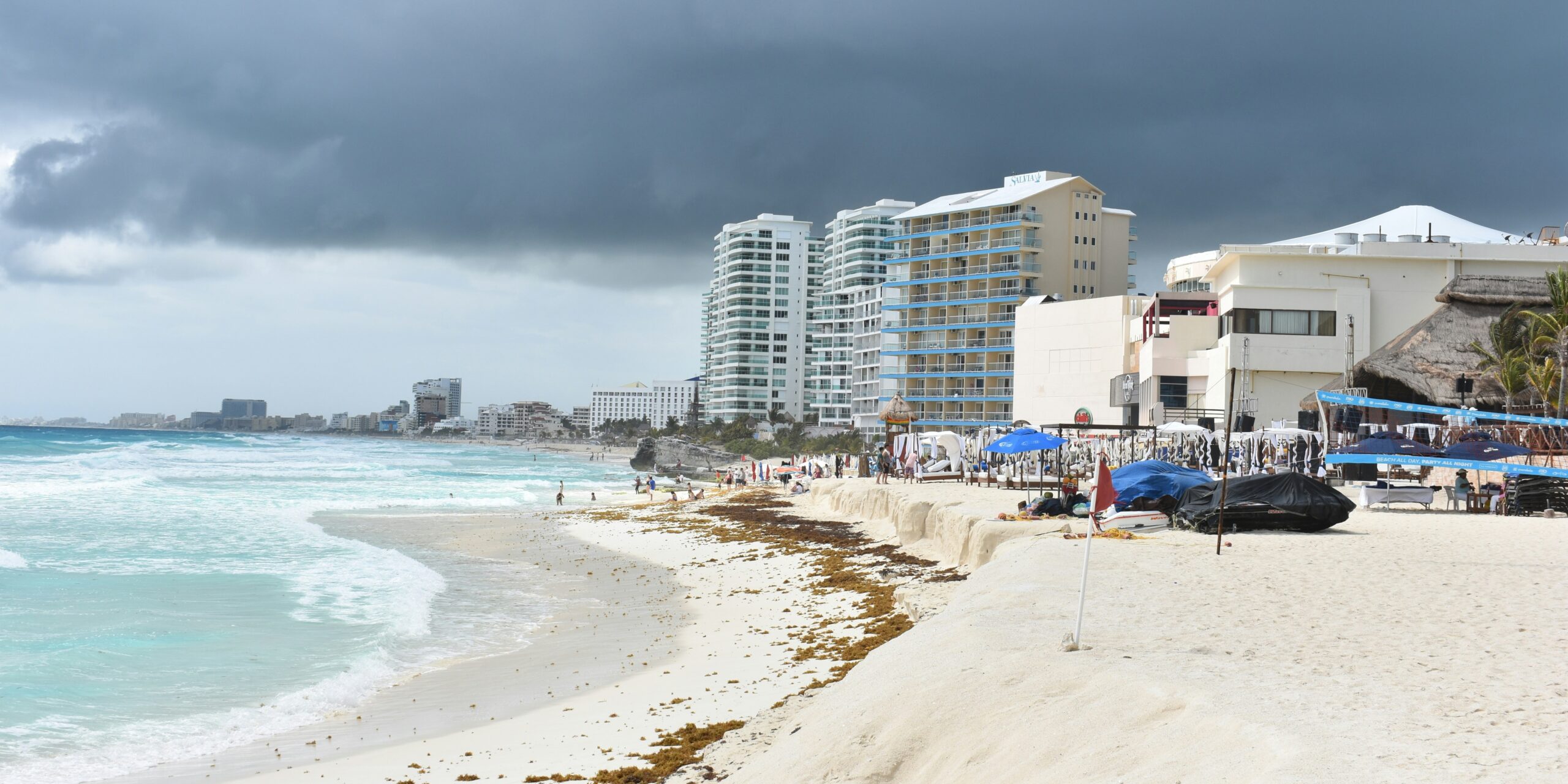
In addition to the rainfall, the tropical waves were forecast to influence marine conditions along Florida’s coast. Choppy seas and an elevated risk of rip currents were anticipated, especially along the Atlantic beaches. Local officials advised residents and visitors to exercise caution when entering the water, as sudden storms and rough surf could create hazardous conditions. Lightning strikes near the shoreline are also a common concern during tropical weather patterns, underscoring the importance of paying close attention to changing skies.
Although the two tropical waves were not immediately threatening to develop into tropical storms or hurricanes near South Florida, meteorologists emphasized that the situation bears monitoring. In rare instances, nearby tropical systems can interact with each other in a process known as the Fujiwhara effect, where their circulations influence one another’s path. While such interactions are uncommon, the possibility is one reason why weather models continue to adjust their projections as new data becomes available.
The unsettled weather pattern is expected to persist for several days as the systems slowly move northward. Residents and visitors were encouraged to remain weather-aware, carry umbrellas or rain gear, and be prepared to adjust outdoor plans. Local forecasters stressed the importance of heeding warnings and staying informed through updates from the National Hurricane Center and the National Weather Service.
The arrival of these waves highlights the heightened activity of the Atlantic hurricane season in late September. Historically, the period from mid-August through late October is considered the most active stretch of the season, with tropical waves forming off the coast of Africa often developing into more significant systems as they traverse the warm waters of the Atlantic. For South Florida, this means that vigilance is necessary, even when systems are not projected to make direct landfall.
As the week continues, attention will remain focused on whether these disturbances organize further and how much rain they ultimately deliver to South Florida. For now, the primary message from meteorologists is preparedness: storms may be scattered and quick to form, but they can still disrupt daily routines and pose risks, especially when heavy rainfall coincides with busy travel periods. The outlook underscores the delicate balance of living in a region where tropical weather is both a seasonal norm and a potential threat.